 570 Ballarat mining maps, dated between 1870–1890 (approx.), are now available to search and view online using the State Library of Victoria catalogue.
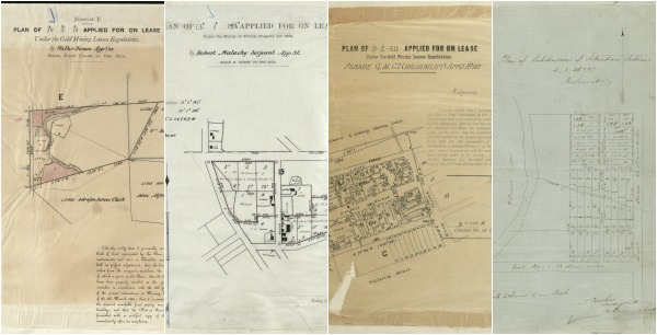
These maps are of particular interest to local and family historians as they include names of individuals. The maps are specific to the Ballarat district, covering subdivisions of Gordon, Creswick and Ballarat, along with some maps of Bendigo.
The maps show land where applications for mining permits were made, along with details about whether the applications were successful or not.